


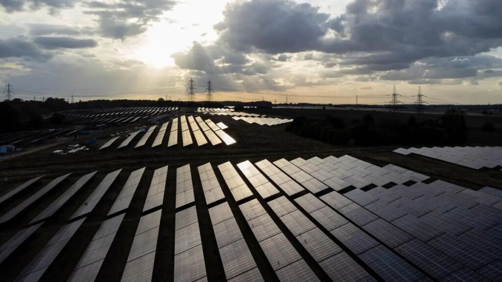
Fresh ‘low’ may bring more rain for Central, North-West India next week
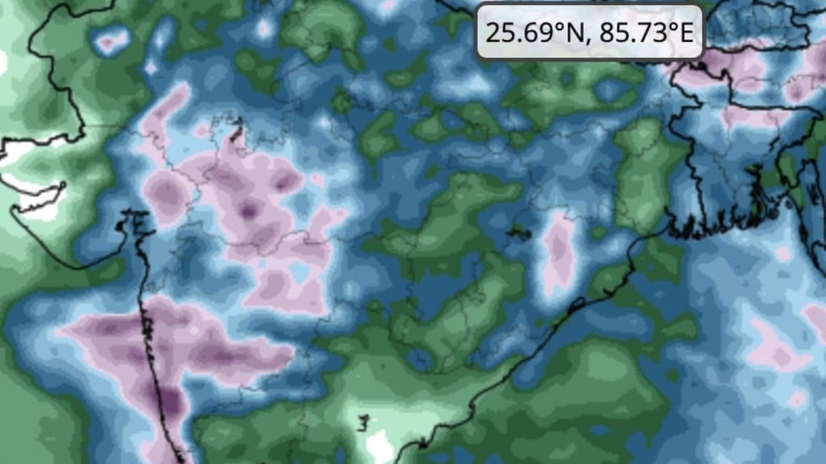
 for hills and plains of North-West India; West India; and the West Coast for next three days ending on Sunday (August 31).")
European Center for Medium-Range Weather Forecasts signals heaviest rain (in purple) for hills and plains of North-West India; West India; and the West Coast for next three days ending on Sunday (August 31).
| Photo Credit:
www.tropicaltidbits.com
Robust monsoon conditions over the northern half of India – East and Central India, North-West India and West India – along with parts of West Coast may continue into the first week of September since numerical prediction models suggest the hyperactive Bay of Bengal may take ideal cues from ongoing last week of August to roll out helpful circulations or the odd low-pressure area.
On Thursday, India Meteorological Department (IMD) located the latest ‘low’ hovering over central parts of Chhattisgarh and neighbourhood. The core monsoon trough that embedded the ‘low’ passed through Sri Ganganagar; Shivpuri; Damoh; central parts of Chhattisgarh; and Kalingapatnam before dipping east-southeastwards into central Bay of Bengal.
Fresh ‘low’ on cards
The eastern end dipping into the Bay and staying as such into early September would potentially mean another ‘low’ in the making, seeds of which would be sowed thanks to an incoming circulation from the South China Sea. Numerical weather models of the IMD suggest that this ‘low’ would potentially materialise by September 3, and track towards North-West and Central India.
Western disturbance
Also on Thursday, the IMD said an incoming western disturbance as a cyclonic circulation was located over north Pakistan and adjoining Punjab. These western disturbances have been interacting with monsoon easterlies triggering very heavy rainfall over the hills (Jammu and Kashmir, Himachal Pradesh and Uttarakhand) and adjoining plains of North-West India in recent days. Elsewhere, a rain-friendly monsoon shear zone persisted across the Ratnagiri-Nalgonda latitude over the south Peninsula.
May last into Sept
According to the US Climate Forecast System model, normal to above normal rain may likely persist over North-West India; East and Central India; South-East Peninsula (Telangana, Rayalaseema, Coastal Andhra Pradesh and Tamil Nadu) apart from parts of Kerala and Karnataka until September 16 when it may start to lift from extreme North-West to time with withdrawal of monsoon.
Telangana drenched
The 24 hours ending Thursday morning saw extremely heavy (≥21 cm) and exceptionally heavy rainfall over Telangana with Kamareddy recording (41 cm). Heavy to very heavy rainfall was reported from over Goa, and very heavy (12-20 cm) over Coastal Karnataka; hills of West Bengal; south Konkan; ghats of Madhya Maharashtra and Marathawada. It was heavy (7-11 cm) over Uttarakhand; Himachal Pradesh; Punjab; East Rajasthan; Madhya Pradesh; Odisha; east Gujarat; interior Karnataka; and Kerala.
More extreme rain
The IMD has warned that heavy to very heavy rainfall with extremely heavy rainfall is likely at isolated places over Telangana and Coastal Karnataka on Thursday with heavy rainfall over Telangana during subsequent two days, and heavy to very heavy over Coastal Karnataka during subsequent six days as the monsoon revs up afresh over South Peninsula during the week ahead.
Hills and plains
As for North-West India, isolated very heavy rainfall is likely over Uttarakhand on Thursday and Friday as well as Monday and Tuesday (September 1 and 2); and over East Rajasthan on Sunday. Isolated heavy rainfall likely to continue over the hills along Uttarakhand and Himachal Pradesh as well as in the plains of East Rajasthan during next seven days. Isolated heavy rainfall is likely over east Gujarat; Konkan and Goa; and Madhya Maharashtra during next seve days, the IMD added.
Published on August 28, 2025
